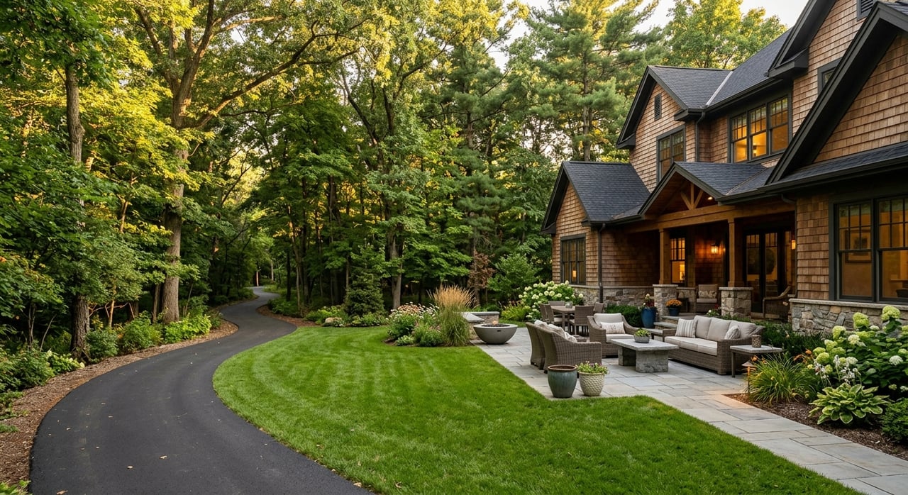
If you are trying to picture daily life in Huntersville, start outside. This is a town where weekends can mean lake access, trail time, nature programs, or a stroll through a pedestrian-friendly mixed-use district. If you are exploring a move or simply narrowing down what part of Huntersville fits your lifestyle, understanding the town’s parks, greenways, and play spaces can help you see the bigger picture. Let’s dive in.
Why outdoor living stands out
Huntersville has a strong outdoor identity within the Charlotte metro. Mecklenburg County classifies it as a large suburban town and lists its 2020 population at 61,376. Across the county, the park system includes 290 parks and facilities on more than 23,000 acres, with a nature-preserve system protecting almost 8,000 acres.
That matters because Huntersville is not built around just one kind of lifestyle. You can find mixed-use, pedestrian-oriented areas near shops and services, but you can also find lower-intensity areas shaped by open-space preservation and conservation-minded planning. In practical terms, that gives you a broader range of ways to spend your evenings and weekends.
Latta Nature Preserve offers space to roam
If you want a more nature-forward side of Huntersville, Latta Nature Preserve is one of the clearest examples. Mecklenburg County says Quest at Latta Nature Preserve is located at 6345 Sample Road and includes educational programs for all ages, live native animals, a 3,000-square-foot interactive exhibit hall, a 6,000-gallon aquarium, classrooms, conference rooms, and rentable space. The preserve is open daily from sunup to sundown.
The preserve also includes 15 miles of equestrian trails for public use. That gives the area a different feel than a typical neighborhood park. It is a good fit if you are drawn to larger natural spaces and a quieter outdoor experience.
One important note is that Latta Place should be viewed differently from the preserve itself. The historic site closed in 2021 and is being reimagined through a new design and community-engagement process, with Mecklenburg County announcing a final design in March 2025. So while the preserve remains active, the historic house component is best understood as a future project rather than a current attraction.
Blythe Landing brings Lake Norman closer
For many buyers, Huntersville’s appeal starts with the water. Blythe Landing Park is the town’s strongest example of that lake-access lifestyle, especially if you want easy access to Lake Norman without needing to live directly on the shoreline.
Mecklenburg County says Blythe Landing has six boat ramps and 218 trailer-parking spaces, along with a playground and picnic areas. Lake Norman Community Sailing also operates there, with sailing classes and memberships for kayaking and paddleboarding. If your ideal weekend includes launching a boat, paddling, or spending time by the water, this part of Huntersville deserves a closer look.
Greenways connect recreation and routine
Huntersville’s trail system is about more than exercise. Mecklenburg County describes greenways as linear parks that connect people and places while also supporting recreation, transportation, fitness, water quality, flood mitigation, and wildlife habitat. That wider purpose helps explain why greenways can shape the feel of everyday life, not just weekend plans.
Countywide, the system includes 85.5 miles of greenway trails, 25.9 miles of access trails, 30.4 miles of urban trails, 76.2 miles of nature-preserve trails, and 225.5 miles of park trails. For a suburban town, that kind of regional network can make it easier to think about movement and connection in a different way.
Two Huntersville examples stand out. McDowell Creek Greenway runs 2.82 miles from Magnolia Estates Drive to Highway 73 at Birkdale Village and connects Cornelius to Huntersville. A newer Torrence Creek segment, opened in July 2024, extends to the Huntersville Gateway Park and Ride, ties into the existing Torrence Creek Greenway, and connects with the forthcoming Ranson Rosedale Nature Park.
If you like the idea of stepping out your door for a walk, run, or bike ride with practical connections to nearby destinations, trail-adjacent living may be part of your Huntersville search. In some parts of town, greenways are not just amenities. They are part of how people move through the area.
Birkdale Village adds walkable energy
Not every outdoor gathering place in Huntersville looks like a preserve or a lake park. Birkdale Village shows another side of local life, one built around public space, events, and walkability.
The official site describes Birkdale Village as a pedestrian-oriented, mixed-use development that opened in 2003. Its event calendar includes recurring Sunday markets and movie nights in the plaza, and redevelopment plans note expanded public gathering spaces and walkability. Phase II, approved in 2025, adds more residences, office space, hotel space, and parking in a mixed-use format.
For you as a buyer, this helps illustrate what compact, amenity-rich living can look like in Huntersville. It is less about large natural acreage and more about being close to restaurants, errands, events, and shared public spaces. If you are comparing different parts of town, Birkdale is a useful reference point for a more connected, pedestrian-friendly pace.
Year-round play matters too
Outdoor living in Huntersville is not limited to trails and open land. Huntersville Family Fitness & Aquatics is another major part of the local recreation picture, especially if you value active play and year-round options.
The facility says it opened in 2001 and spans 88,000 square feet. Amenities include an Olympic-sized 50-meter pool, a warm-water pool for lessons and exercise, a 10-meter dive tower, an outdoor splash pad, a fitness center, group classes, and child-care services. For many households, that kind of all-season recreation can be just as important as proximity to a park.
Community spaces go beyond parks
Huntersville’s sense of place is not built only on recreation. Huntersville Rosenwald School #2 is a good example of how civic life also shows up in repurposed community spaces.
Mecklenburg County says the building was converted into a community center after closure and now hosts church events, weddings, and community activities. That kind of gathering space adds another layer to the town’s identity. It suggests that community life here happens in parks and plazas, but also in long-standing local places with ongoing public use.
How outdoor access shapes housing choices
One of the most helpful things about Huntersville is that its outdoor network lines up with different housing styles. If you are relocating or trying to refine your search, this can make the town easier to understand.
Mixed-use and walkable districts
Huntersville’s zoning code says the Neighborhood Center district is intended for shops, services, workplaces, civic uses, and residential buildings within walking distance of homes, generally within about a quarter mile. Permitted building types include apartments, townhomes, duplexes, triplexes, quadplexes, detached houses, mixed-use buildings, shopfront buildings, and workplace buildings.
The Town Center district goes further by calling for revitalization, reuse, and infill in a compact, pedestrian-oriented environment with higher-density housing. In real-life terms, Birkdale Village is the clearest local example of this style. If you want a home base tied closely to dining, errands, events, and public gathering spaces, this is the Huntersville pattern to notice.
Lower-intensity and conservation-minded areas
On the other end of the spectrum, Huntersville’s Transitional Residential district is designed to bridge rural and more urbanized areas. The town code says it supports farms, single houses, conservation subdivisions, farmhouse clusters, and residential neighborhoods, using open-space preservation and wide buffers to maintain lower-intensity character.
County land-development metadata also says Huntersville’s open-space planning is meant to preserve natural vistas and rural heritage features. That helps explain why some parts of town feel more open and removed from the busiest mixed-use corridors. If you are looking for a setting shaped more by landscape and breathing room, this side of Huntersville may be a better fit.
Lake-access and trail-adjacent living
Near Blythe Landing and the NC 73 corridor, the lifestyle conversation often centers on water access. With ramps, trailer parking, picnic areas, and sailing, kayak, and paddleboard access, the area appeals to people who want quick entry to Lake Norman activities.
Along McDowell Creek and Torrence Creek, the story shifts toward trail connectivity. Because Mecklenburg County frames greenways as transportation corridors as well as recreation assets, these areas can appeal to buyers who value out-the-door trail access and easier neighborhood-to-neighborhood movement.
What this means for your home search
Huntersville works well for buyers because it offers a spectrum rather than a single identity. You can prioritize lake access, trail connectivity, mixed-use walkability, or a more conservation-oriented setting depending on how you want daily life to feel.
That is especially helpful if you are relocating to the Lake Norman area and trying to decode local differences. A home is never just about square footage. In a town like Huntersville, it is also about whether you picture yourself closer to the water, closer to the greenway, or closer to a village-style gathering place.
If you want help sorting through Huntersville’s different lifestyle pockets and finding the right fit for your move, Judy Robertson Homes would love to help you navigate the options with trust, knowledge, and care.
FAQs
What parks in Huntersville are best for nature-focused outings?
- Latta Nature Preserve is one of Huntersville’s strongest options for nature-focused time outdoors, with Quest at Latta, educational programming, live native animals, exhibits, an aquarium, and 15 miles of equestrian trails.
What Huntersville park offers Lake Norman boat access?
- Blythe Landing Park is the key Huntersville access point for Lake Norman, with six boat ramps, 218 trailer-parking spaces, picnic areas, a playground, and sailing, kayaking, and paddleboarding access.
What greenways connect Huntersville to nearby destinations?
- McDowell Creek Greenway connects Cornelius to Huntersville and runs to Highway 73 at Birkdale Village, while the newer Torrence Creek segment extends to the Huntersville Gateway Park and Ride and ties into existing and future trail connections.
What part of Huntersville feels most walkable and mixed use?
- Birkdale Village is a strong example of pedestrian-oriented, mixed-use living in Huntersville, with residences, shops, restaurants, events, and expanded public gathering spaces.
Is Latta Place open as a museum in Huntersville?
- No. Mecklenburg County says Latta Place closed in 2021 and is being reimagined, so it should be viewed as a future project rather than a currently operating museum attraction.
How do parks and greenways affect housing choices in Huntersville?
- In Huntersville, outdoor amenities often align with lifestyle patterns such as walkable mixed-use living near Birkdale Village, lake-access living near Blythe Landing, and quieter, conservation-minded areas near larger natural spaces and transitional residential districts.